
Our Services
Below you will find brief descriptions of a few of the services that we offer. Out full list of services can be found here. If you have specific job that you need completed and need more information, please give us a call.
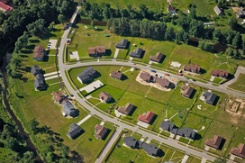
Boundary Retracement Surveys
All boundary surveys performed in the State of Texas
must conform to the Texas Board of Professional Land Surveyor Minimum
Standards of Practice and must be signed and certified by a Registered
Professional Land Surveyor registered in the State of Texas. A typical survey will consist of a plat or map of the subject property with a
metes and bounds description with all corners marked on the ground.
|

Construction Staking
RMC Surveying has the equipment, experience and personnel necessary to provide construction layout for any of your building needs. We have performed construction layout of buildings, city streets, major highways, curb and gutter, utilities, railroads, water lines, sanitary sewer, storm sewer, petroleum pipelines, sanitary landfills, lakes, parking lots, etc.
|
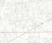
Topographic Surveys
The Topographic Survey includes two levels of information consisting of the physical features on the site and the elevations of the site. The detail is usually
represented by a scaled drawing illustrating the actual outline of the
feature and the elevations are typically illustrated by contour lines.
|

ALTA/ACSM Surveys
ALTA/ACSM is a survey performed to
specifications as set forth by the American Land Title Association and the
American Congress on Surveying and Mapping. ALTA/ACSM surveys are required by
many businesses, financial institutions and title companies to make sure that
the survey is performed to a recognized national standards.
|
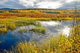
Environmental Surveys
Environmental science is becoming a greater concern to individuals who plan construction projects today. As we have become more aware of the importance of protecting our environment legislators have empowered federal and state agencies to insure that future development will have as minimal impact as possible on our environment. RMC Surveying has worked with many professionals in this field while providing surveying and mapping services to help monitor the impact of regulated activities. We have surveyed bore hole locations, monitoring wells, spill sites, cultural features, etc. and provide mapping on various formats from USGS Digital Quad maps to digital aerial photographs.
|

Well and Pipeline Design / As-built
RMC Surveying performs well location surveys, stake out well pads and draft permit plats for commission filing. Our services also include oil unit surveys, gas unit surveys, pipeline alignment maps, road-crossing permits, railroad crossing permits, ownership plats, centerline easement descriptions, aerial photographs and pipeline system mapping.
|